")
")
")
")
 Email us at:
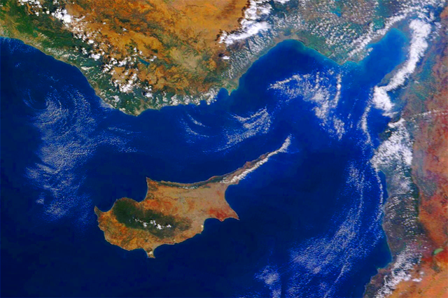
 Geography of Cyprus - the Island of Cyprus
The Turkish Republic of Northern Cyprus is an autonomous territory covering the north of the island of Cyprus.
Situated at the far eastern end of the Mediterranean Sea, Cyprus is geographically closer to the Middle East than to Europe. However, politically and culturally, it is aligned with Europe. As a matter of fact, Cyprus has historically always sat at the crossroads of three continents: Europe, Asia and Africa. It is about 75 km south of Turkey, 105 km west of Syria, and 380 km north of Egypt. Cyprus is the third largest island ointhe Mediterranean, after Sicily and Sardinia.
Despite its geographical location, Cyprus has a strong political and cultural alignment with Europe. The southern part of the island, the Republic of Cyprus, is a member of the European Union, reflecting its close ties to the European continent. This unique blend of influences from both the Middle East and Europe has shaped Cyprus into a diverse and culturally rich nation.
GEOGRAPHIC COORDINATES:
35 00 N, 33 00 E
AREA:
Total Area - 9,250 km² (of which 3,355 km² belong to the TRNC)
Coastline: 648 km
MARITIME CLAIMS:
Continental shelf - 200m depth
Maritime Limit claimed - 12nm (22.4 km)
GEOGRAPHIC / GEOLOGICAL REGIONS:
The Troodos Massif lies in the central and western part of the island of Cyprus (it's the island's principal mountain range and stretches from Pomos Point to Larnaca Bay). It is composed of surface layer of basalt lava rock, which rose from the sea 10 million years ago. The maximum point of elevation is Mt. Olympus at 1,953m (6,407 ft).
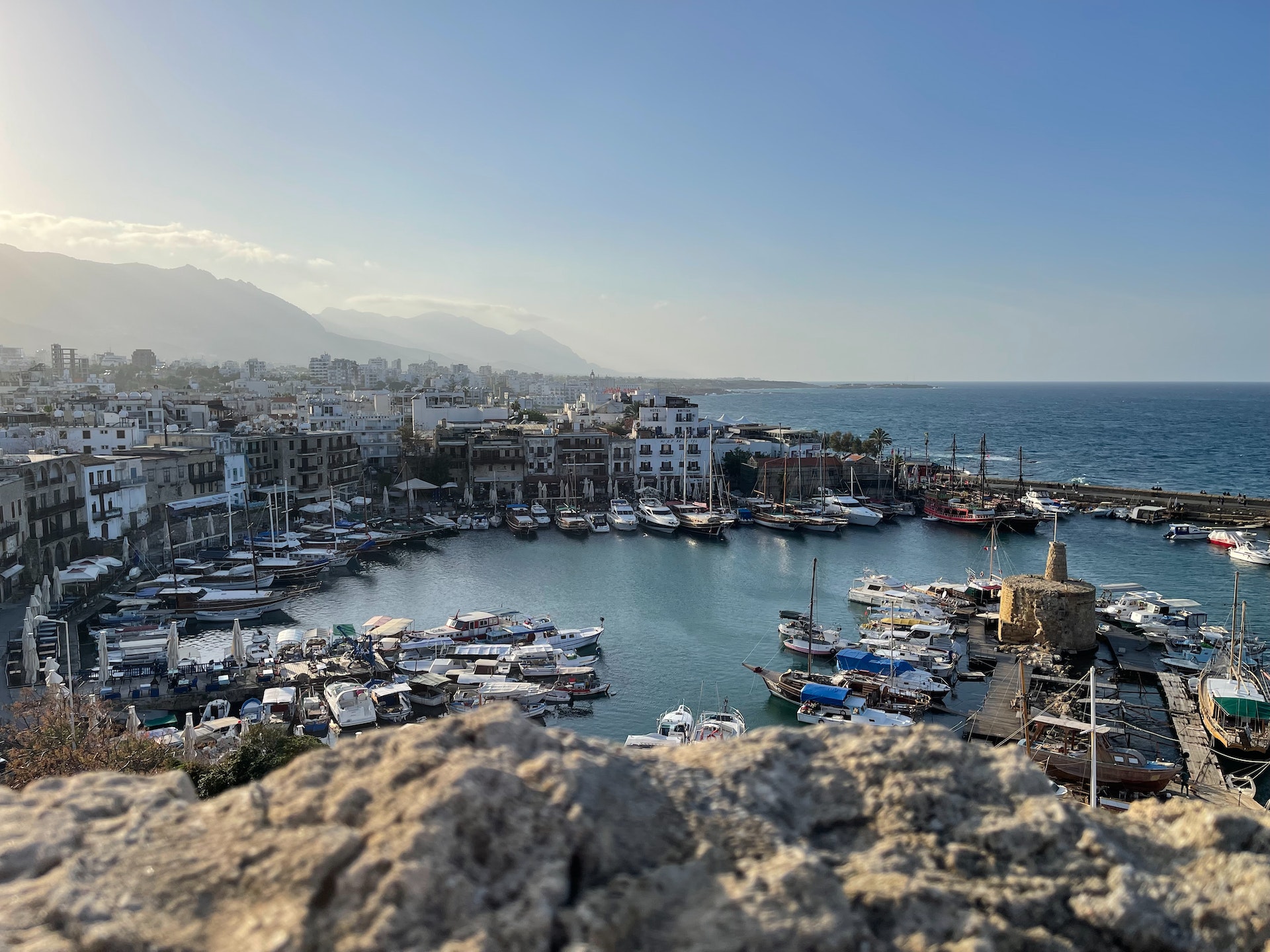
The island's second mountain range is called the Besparmak/Pentadaktylos Mountains, a 160-km-long narrow chain running along the northeast cost of Cyprus which is limestone in formation. Its highest point is Mount Selvili at 1,023m (3,357 ft). The range is often referred to as the Kyrenia mountains. The Greek name, Pentadaktylos, and the Turkish name, Besparmak, mean "five fingers", which derives from a mountain near the north coastal city of Kyrenia that has five finger-like projections.
The central part of the island of Cyprus is made up of the Mesaoria/Mesarya plain which is the location of the divided capital Nicosia. Nicosia is called Lefkosa in Turkish and Lefkosia in Greek and it is the world's only divided capital city. The Mesarya is bounded by the Kyrenia and Pentadactylos mountains to the north and the Troodos mountains to the south-west. Other plains stretch along the southern coast of Cyprus.
The Karpaz Peninsula (Karpasia), a long, finger-like peninsula, and is. perhaps. the most distinguishing geographical feature of the island. At its farthest extent is Cape Apostolos Andreas, and its major population centre is the town of Dipkarpaz (Rizokarpaso).
ELEVATION:
Lowest point - Mediterranean Sea (0 m)
Highest point - Olympus (1,953 m)
NATURAL RESOURCES:
Copper, pyrites, asbestos, gypsum, timber, salt, marble, clay earth pigment.
NATURAL HAZARDS:
Moderate earthquake activity.


.jpg)